
Services
Seedling Survival Studies
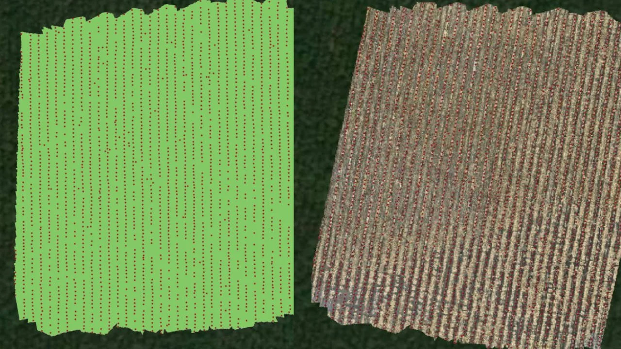
Using our multispectral drone, we track crop and seedling health from the air—spotting stress or disease long before it's visible from the ground. Once seedlings emerge, we conduct precise stem counts to measure germination success.
The same aerial technology lets us perform tree counts, including color-coded counts by species or health status, giving forestry clients a clear picture of stand condition without walking every acre.
Aerial Applications by Drone
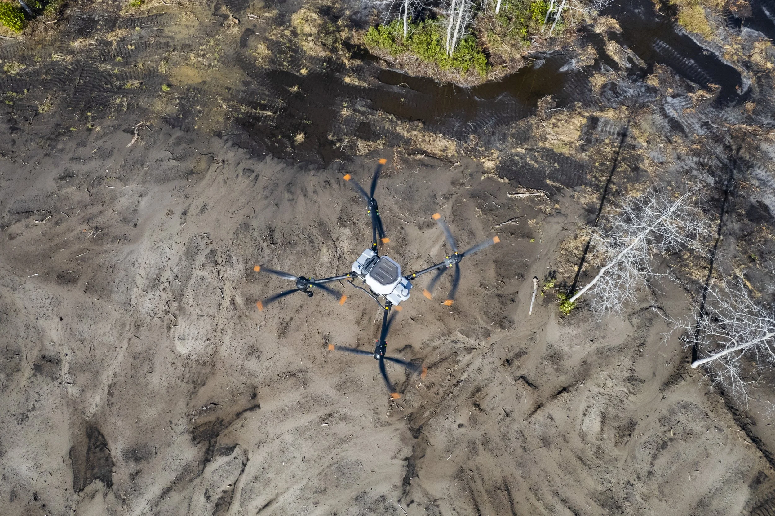
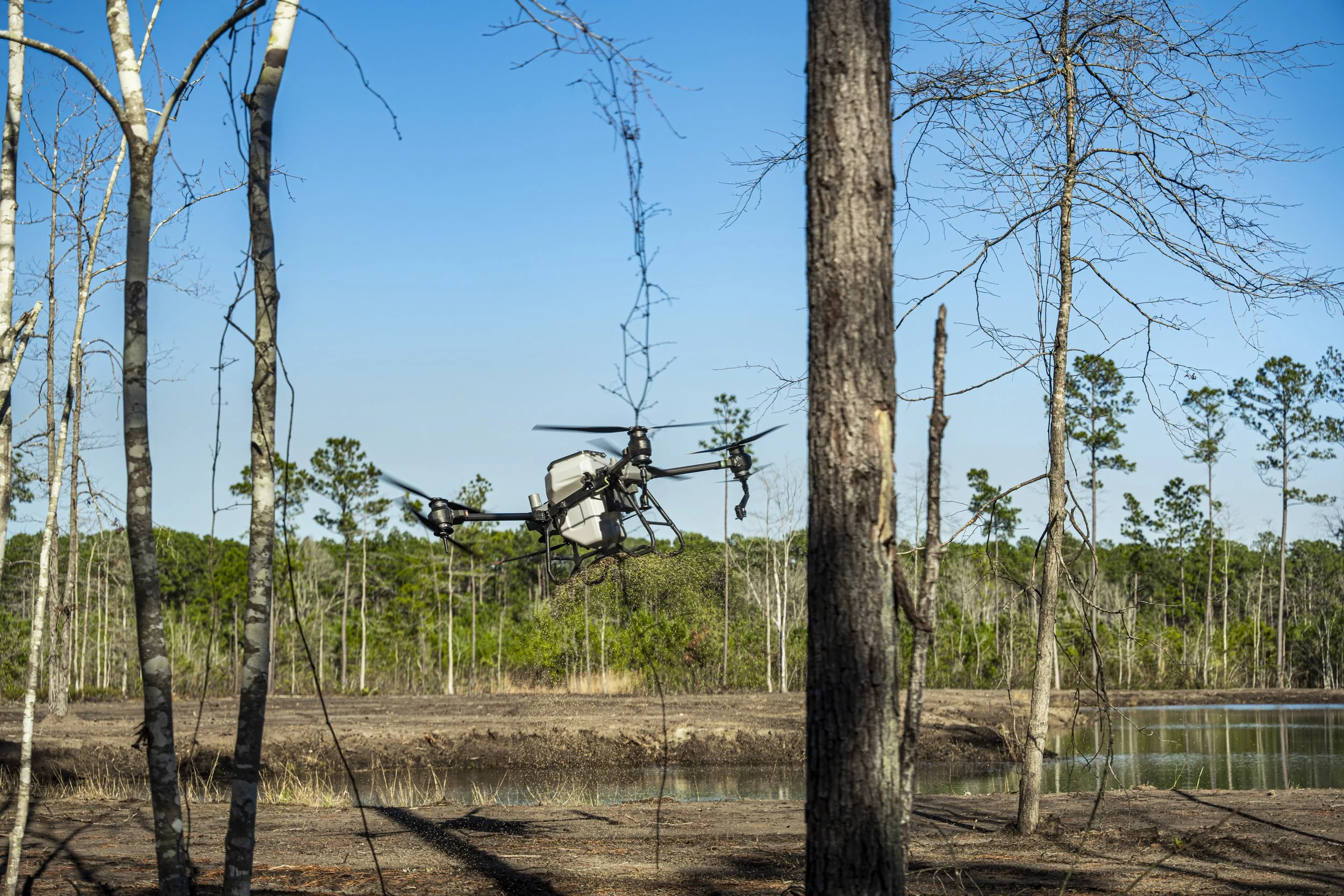
We specialize in precision aerial application of herbicides, insecticides, and fungicides—delivering more even coverage with less chemical drift than traditional ground spraying, and reaching wet, flooded, or hard-to-access areas ground equipment can't.
Our drones also carry a 100-pound granular spreader for seed and fertilizer distribution. From forestry and agricultural fields to ponds, duck impoundments, and golf courses, we handle spray and spread jobs across South Carolina.
Photography by Drone
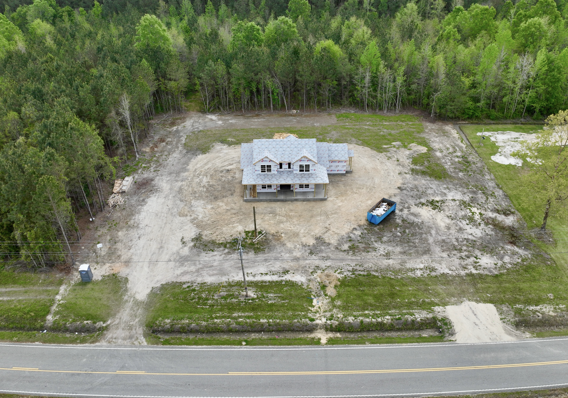
From real estate listings to roof and property inspections, aerial photography gives you a perspective ground-level shots can't match. We capture high-resolution images of job sites, construction progress, and full properties — ideal for real estate agents, contractors, and homeowners alike.
Planning a new project? We can also scout and photograph potential building sites from the air to help you evaluate a location before you break ground.